
Occasionally warm and sunny, but more often cool and shrouded in a layer of fog, the Point Arena headland is a uniquely beautiful and ecologically important site on California’s northern coast. Located five miles north of its namesake town and 150 miles north of San Francisco, the waters off Point Arena are part of a major upwelling zone along the U.S. West Coast, and a key source of nutrients for marine life. The diverse habitats beneath the waves are exceptionally complex, with vertical rock walls, cobbled reefs, kelp beds, caverns, pinnacles, and deep sandy bottoms, to name but a few. Point Arena’s varied marine habitats and strong upwelling make it a remarkable biodiversity hotspot.

From the headland that juts out into the Pacific Ocean, the land unfolds into the water and the horizon is seemingly endless; waves crash into coastal bluffs and shipwrecks lay beneath ever-churning seas. Shallow rocky reefs support vital habitat for bull kelp, sea palm, and kombu (also called Setchell’s kelp), while red and coralline algae, anemones, and gorgonians (soft corals) prevail along the deeper hard bottom. Invertebrates, like red and purple urchins, rock scallops, orange sea cucumbers, and nudibranchs can be found throughout the area, benefitting from the nutrient-rich waters welling up from the depths.
Schools of blue rockfish and black rockfish can be found in abundance, searching for food in the cold waters, while lingcod lie in wait to ambush their prey. Whales are spotted year-round cruising by this headland; if you see a whale spout or fluke between April and December its likely a blue or a humpback, while between December and April it is likely a gray. With so much going on beneath the surface, it’s easy to understand why this area is important to a number of different conservation strategies at the state and federal level.

The California Department of Fish and Wildlife (CDFW) manages two marine protected areas (MPAs) here, Point Arena State Marine Reserve (SMR) and Point Arena State Marine Conservation Area (SMCA), both of which are directly off the tip of Point Arena. These two MPAs along with 23 others were implemented in 2010 on California’s north central coast (which ranges from Alder Creek, just north of Point Arena in Mendocino County, south to Pigeon Point in San Mateo County).
The nearshore Point Arena SMR prohibits any take of marine resources, living or non-living, from the high tide line to depths greater than 170 feet. The offshore Point Arena SMCA ranges in depth from 153 to 324 feet, and only allows for the recreational and commercial take of salmon by trolling. Regional stakeholders designed these two adjacent MPAs during the Marine Life Protection Act MPA design and siting process by following specific scientific design considerations, with the intent of balancing conservation interests and socioeconomic interests in salmon fishing. The adopted design ensures that vital habitats (such as rocky reefs and deep sandy bottoms) are represented in both MPAs, and helps to meet a network guideline of having essential habitats represented in MPAs to promote network connectivity. Regional stakeholders also considered the importance of shore-based fishing and crabbing north of Point Arena and west of Manchester State Beach during the MPA design process; this area was purposely excluded from the MPAs so those popular consumptive activities would not be impacted.

Federal protection of the Point Arena area is provided by the California Coastal National Monument (CCNM) and the Greater Farallones National Marine Sanctuary (NMS). Established in 2000 by President Clinton, the CCNM is one of the most viewed, but least recognized national monuments in the U.S. It protects more than 20,000 rocks, islands, and exposed reefs and pinnacles along California’s entire coastline and up to 12 nautical miles offshore. In 2014, President Obama expanded the CCNM for the first time by connecting the Pacific Ocean with an onshore component: the 1,665 acres of public land managed by the U.S. Bureau of Land Management at the Point Arena-Stornetta Unit. Similarly, what was originally the Gulf of the Farallones NMS was expanded in 2015 to include federal waters up to Alder Creek (north of Point Arena), and renamed the Greater Farallones NMS in 2016. This NMS expansion ensures the waters surrounding Point Arena are protected from a variety of activities including exploring for, developing, or producing oil, gas, or minerals.

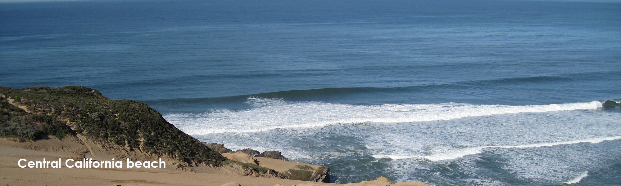
photo by R. Win
There are plenty of opportunities to enjoy the rugged beauty of Point Arena. The armchair enthusiast can watch this short video exploring the depths of Point Arena SMCA. If you feel like stretching your legs, landlubbers can visit the Point Arena lighthouse and gain unparalleled views of the MPAs, CCNM, and NMS while hiking the headland; an overnight stay at the lighthouse is also an option. If you enjoy being around the water, fishermen can troll for salmon offshore, and on calm days, advanced scuba divers and free divers can explore Arena Rock located in the SMR–keep in mind that great white sharks like to patrol the area! Without a doubt, there are plenty of opportunities to enjoy all that Point Arena has to offer!
Point Arena State Marine Reserve and Point Arena State Marine Conservation Area are two of the 124 MPAs in California’s statewide MPA Network. Please visit CDFW’s MPA website for more information, and sign up to receive updates about the MPA Management Program.
![]() post by Amanda Van Diggelen, CDFW Environmental Scientist
post by Amanda Van Diggelen, CDFW Environmental Scientist
Learn more about MPAs by diving into the
Exploring California’s Marine Protected Areas series!
