

Baseline monitoring of Southern California’s marine protected areas (MPAs) concluded in the summer of 2014. Following an extensive review process involving all key partners (California Department of Fish and Wildlife, California Ocean Science Trust, California Ocean Protection Council, and California Sea Grant) the final technical reports detailing these baseline conditions are now available through California Sea Grant.
The purpose of the baseline monitoring projects was to establish a benchmark, both inside and outside of MPAs, for ecological and socioeconomic conditions in the south coast region. The data from these baseline monitoring projects can be used to assess future MPA performance and inform adaptive management decisions.
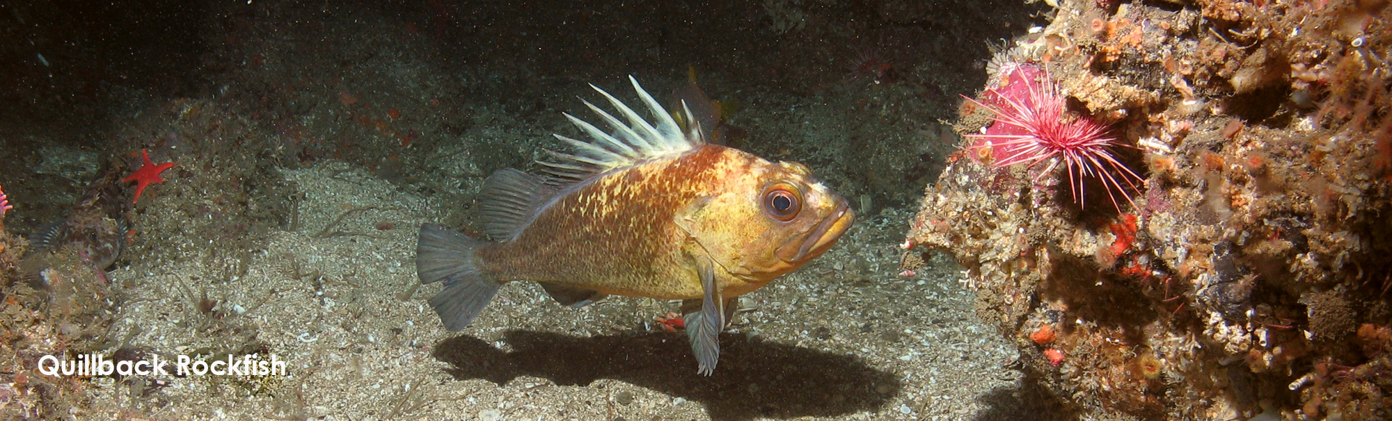
The 5-year baseline monitoring period for the south coast region began in 2012 after 36 new MPAs (and 12 pre-existing MPAs and two special closures at the Channel Islands) were incorporated into the south coast portion of the statewide MPA network. The MPAs cover approximately 356 square miles, or about 15 percent of state jurisdictional ocean waters south of Point Conception. For more information regarding California’s statewide network of MPAs, please visit the California Department of Fish and Wildlife website. post by Amanda Van Diggelen, CDFW Environmental Scientist ♦ Marine Region GIS Lab map ♦ treefish photo courtesy CDFW Marine Region ROV Project
